Geolocation
A point on the earth, stored as a latitude and a longitude.
Use it for
- The location of a household, a farm, a school or a water point.
- Where a visit took place, as evidence.
For the outline of an area, use GEO Area.
Settings
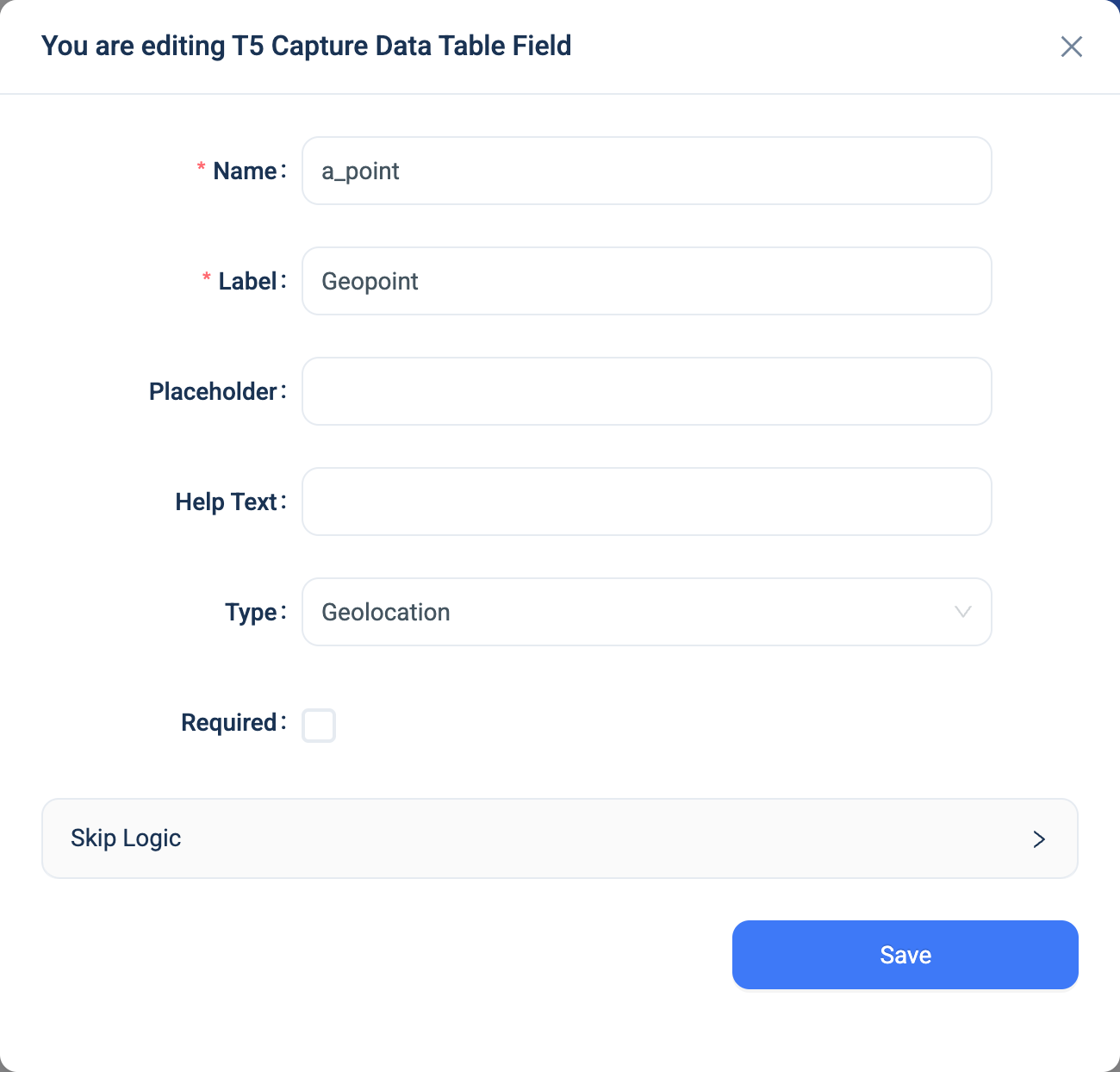
Every question has a Name, a Label, a Placeholder, Help Text, Required and Skip Logic. See Adding a question. Geolocation adds nothing.
Validation
Required applies to both the latitude and the longitude. On the web, a failed reading shows "Error getting geolocation. Please try again later." or "Geolocation is not supported in your browser."
Combinations that matter
- Skip Logic on another question can test whether the location was answered or not answered.
- A calculated field cannot read the coordinates.
- Dashboards can put the points on a map. The analytics warehouse gets the latitude and the longitude as two columns.
- Accuracy. The 3D app shows the accuracy of the reading in metres. Ask field workers to wait for a good reading before they move on.
How it looks
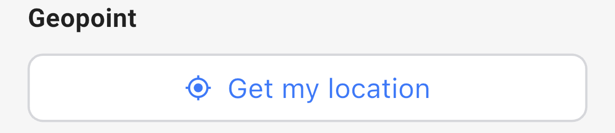
On the web the question is two boxes, latitude and longitude, and a Get Geolocation button that fills them from the browser. The user can also type the values. In the 3D app it is a Get my location button. After a reading, the app shows the latitude, the longitude and the accuracy, with buttons to read again or clear. Neither shows a map.

The question's settings, on the web:
The data
| Where | What you get |
|---|---|
| The record | The point, and two companion fields name Latitude and name Longitude. |
| The data table | The latitude and the longitude. |
| An export | One column with longitude,latitude, longitude first. |
| The analytics warehouse | Two columns, latitude and longitude, ready for a map. |