GEO Area
An area drawn on a map as a polygon. The user places points around the boundary, and 3D joins them into a shape.
Warning
The 3D app does not support this type. A GEO Area question shows a red box in the app, and the user cannot answer it. Use it on forms that your team completes on the web.
Use it for
- The boundary of a field, a plot or a compound.
- A catchment zone or a service area.
For one point, use Geolocation.
Settings
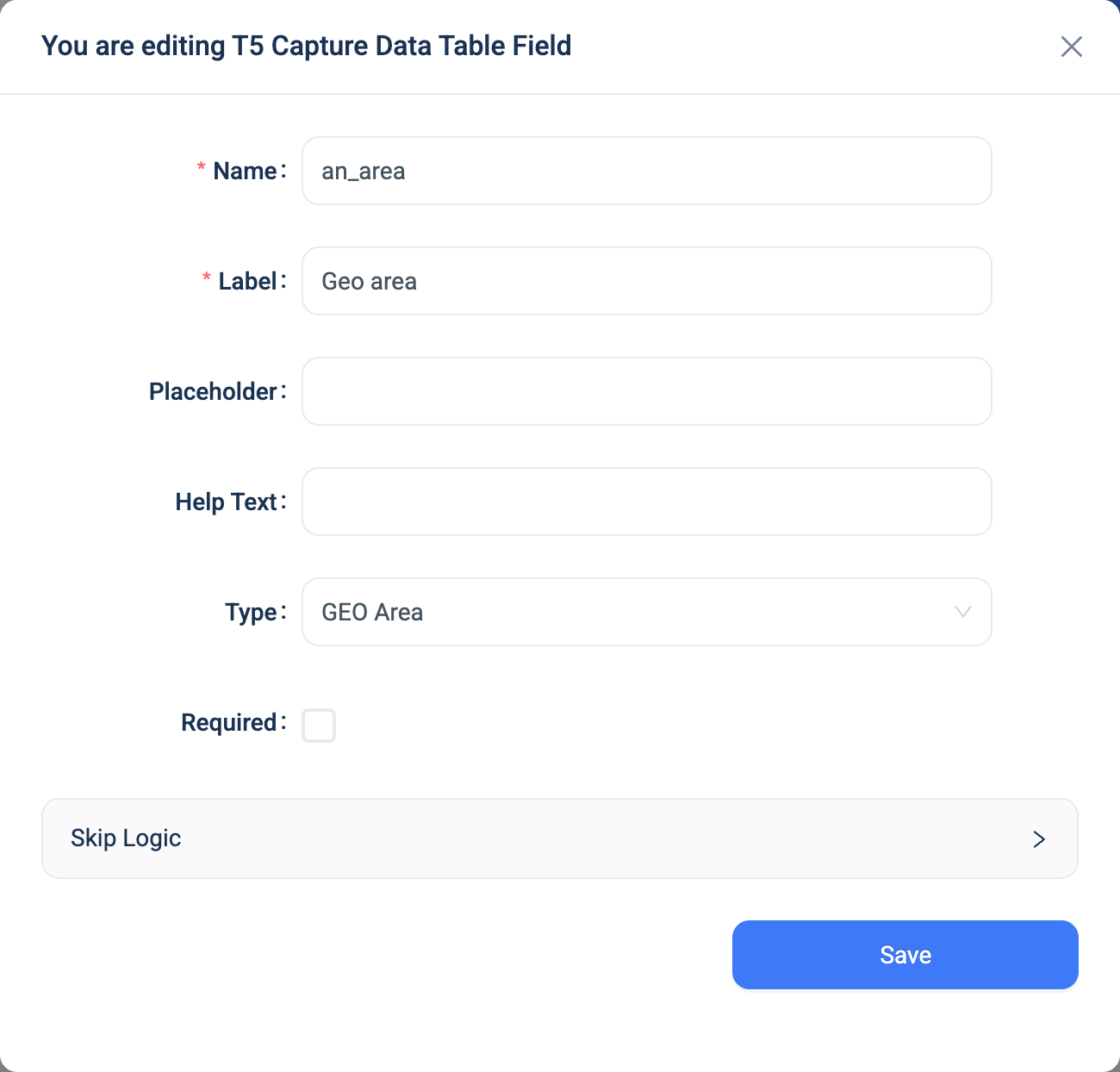
Every question has a Name, a Label, a Placeholder, Help Text, Required and Skip Logic. See Adding a question. GEO Area adds nothing.
Validation
Required is checked by the server when the form is submitted, not on the form as the user types.
Combinations that matter
- Skip Logic on another question can test whether the area was answered or not answered.
- A calculated field cannot read the shape.
- A form that must work in the 3D app cannot have a GEO Area question. Ask for the boundary points as Geolocation questions instead, or collect the area on the web after the visit.
How it looks
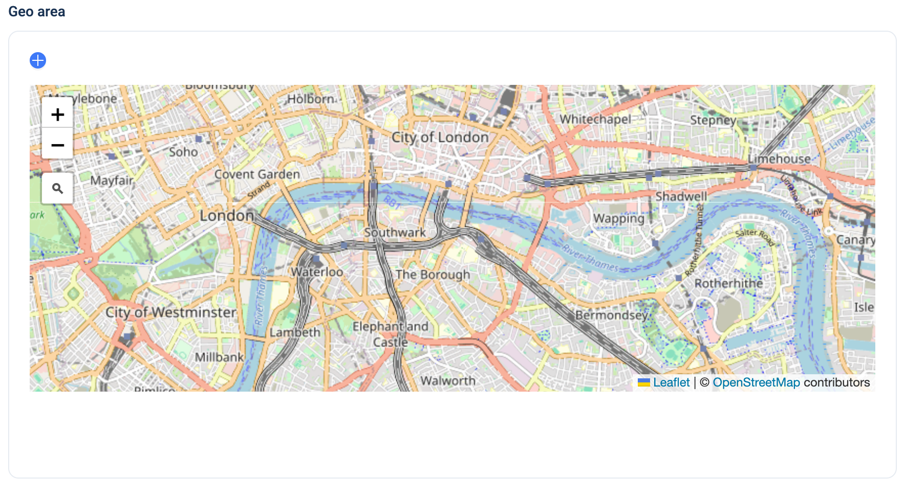
On the web the question is a map with a search box. The user clicks the map to add a point, drags a point to move it, and edits the selected point's latitude and longitude in two boxes. A + button adds a point by hand. The 3D app shows "Unknown question type: geo_area".

The question's settings, on the web:
The data
| Where | What you get |
|---|---|
| The record | The list of points, each a latitude and a longitude. |
| The data table | The coordinates as text. |
| An export | One column with every coordinate, lat,lng,lat,lng and so on. |
Related types
- Geolocation for one point.